Accurate Data. Advanced Solutions. Better Decisions.
Contor delivers survey and geospatial data for the engineering firms, energy operators, and general contractors building across Texas. Statewide mobilization. Principal-led delivery.
Our Services
From field to finish, we combine expertise with advanced technology to deliver a clear and precise understanding of the land.

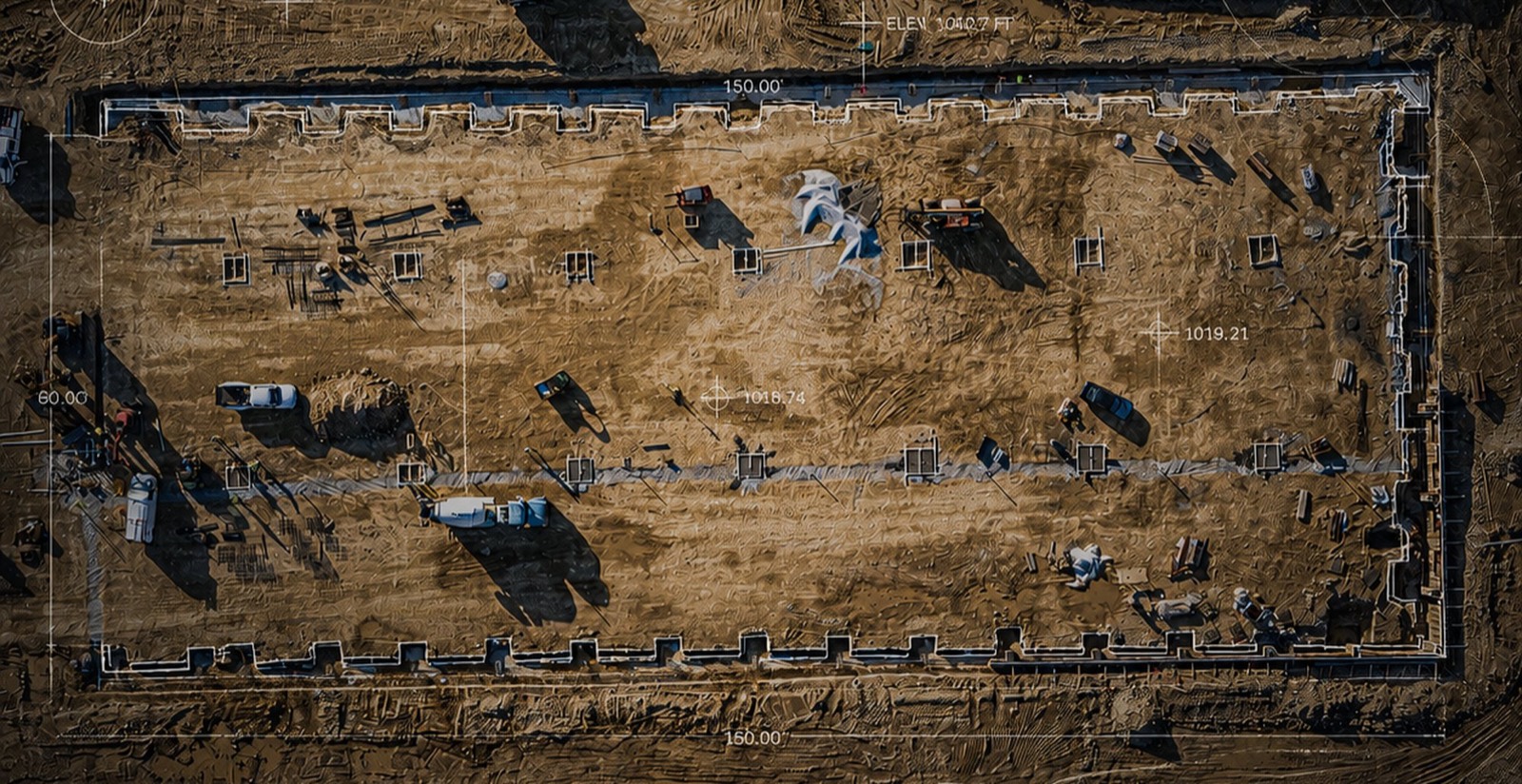
Land Surveys
Boundary, ALTA/NSPS, topographic and design surveys, sealed by a licensed Texas Professional Surveyor.
LiDAR Scanning
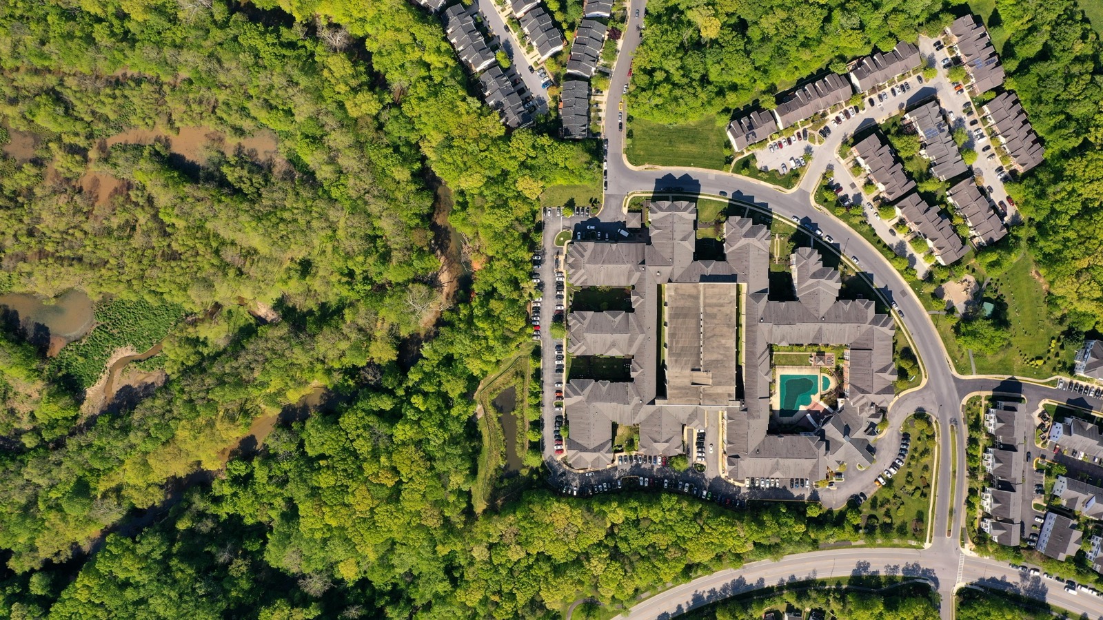
High-density point clouds for facility as-builts, corridors, and volume calculations.
Construction Layout
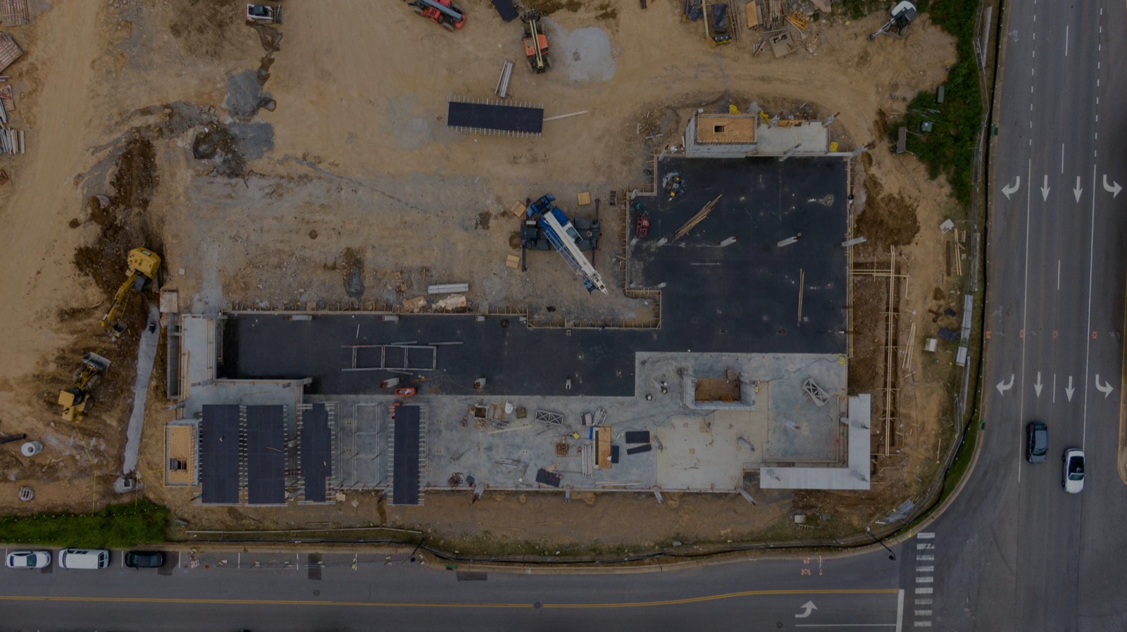
Site control, structural layout, and grade staking tied to your construction schedule.
GIS & Data Solutions
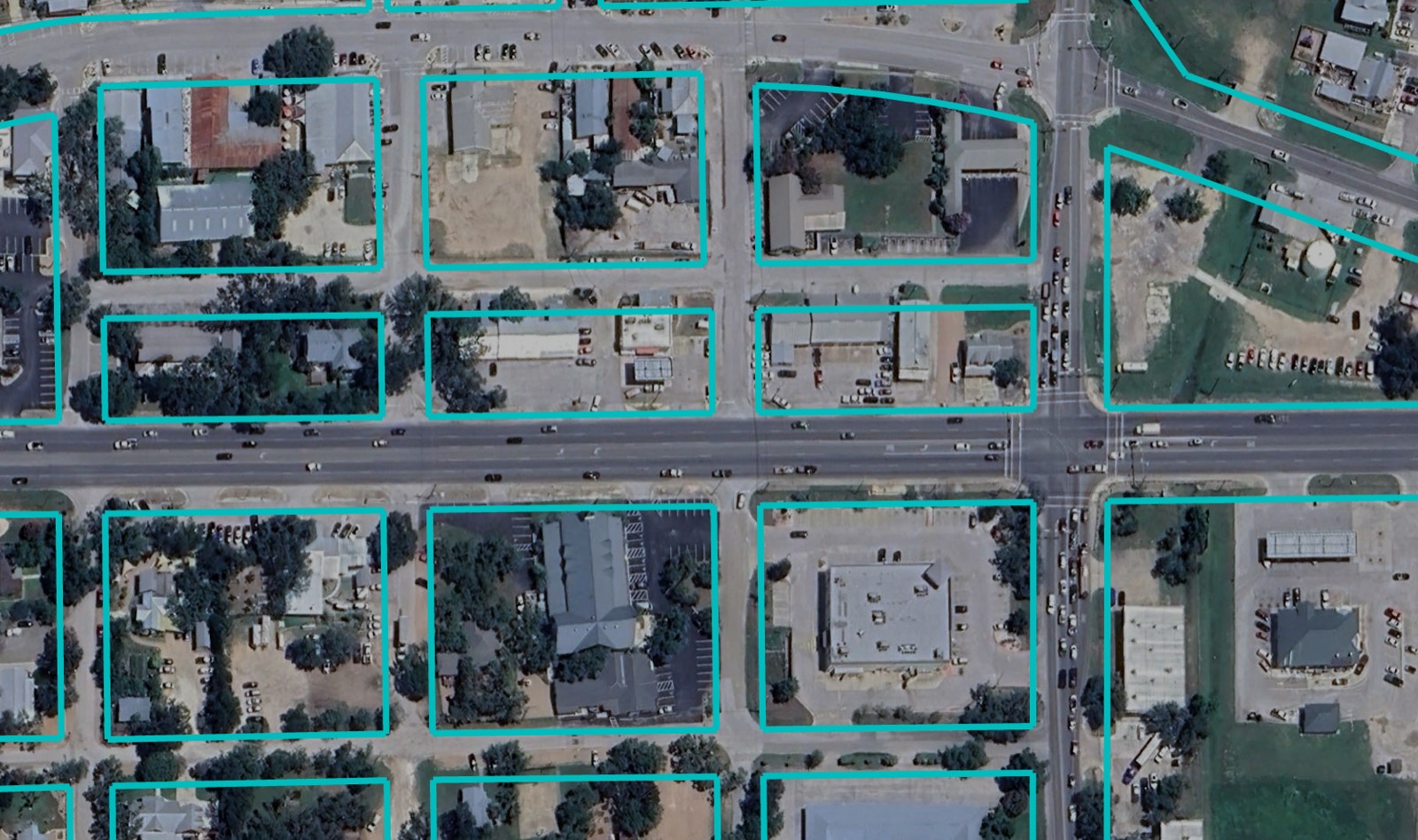
Survey-grade geodatabases and asset records that plug into the systems you already use.
The CONTOR Advantage
01
Proven Foundation.
For generations, land surveyors have helped turn land into opportunity – establishing boundaries, mapping the terrain, and laying the groundwork for what came next.
02
Built on Experience.
Experience across a wide range of projects gives us the perspective to see beyond the immediate scope. We understand how geospatial information fits into the larger project.
03
Equipped for What’s Next
We invest in leading surveying, mapping, and geospatial technology to capture more, see more, and deliver better information.
What our Partners say
“Great communication, timely turnaround, and an outstanding job. We’ll definitely keep Contor in mind for future project opportunities.”
“Contor provided an updated boundary survey that helped us resolve an encroachment issue. They were responsive, knowledgeable, and quick to deliver. I highly recommend Contor.”
“Contor was great to work with on updates to my subdivision plat. Great communication, easy to work with, and delivered exactly what I needed.”
Put a Scope In Front of Us
Send plans, a boundary, or a short description of the work. You will get a defined scope and a free estimate back.
Request a Proposal