Boundary · ALTA/NSPS · Topographic
Land Surveys
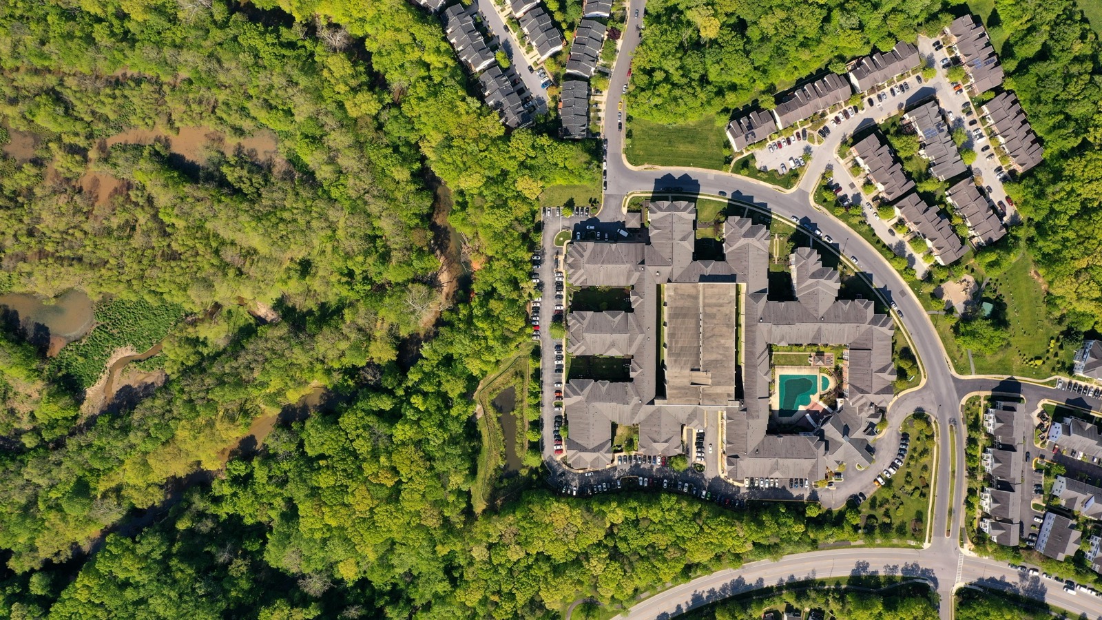
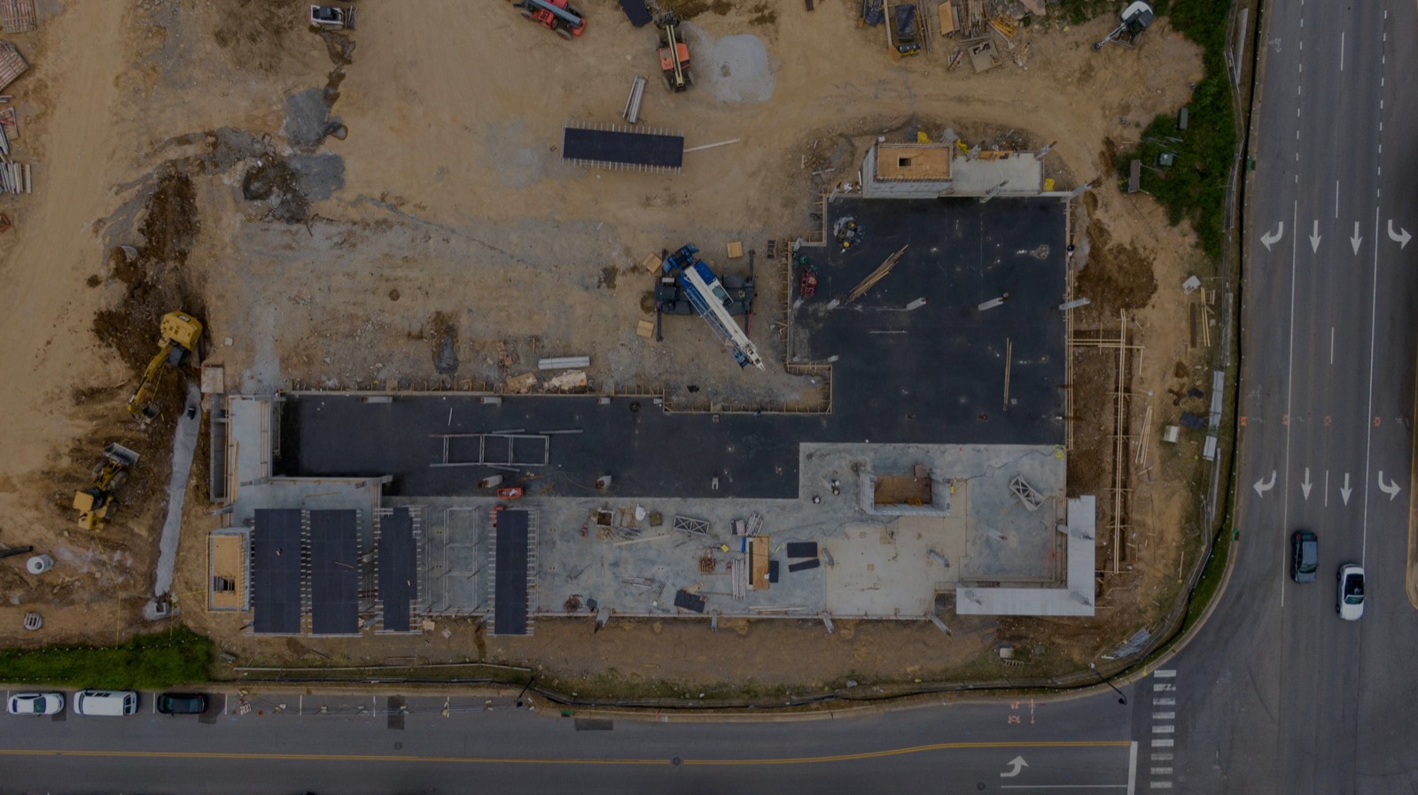
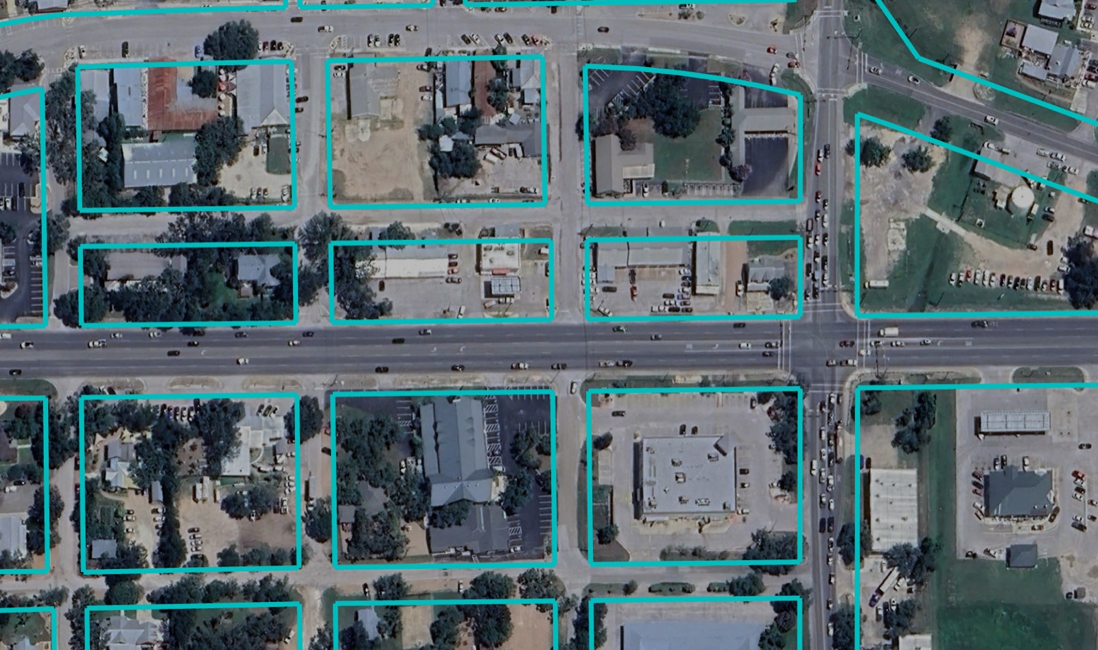
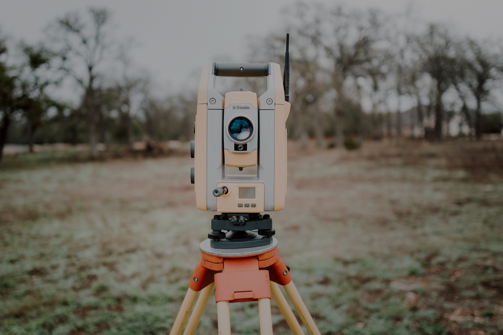
Boundary determination, ALTA/NSPS land title surveys, topographic and design surveys, and subdivision platting. Every survey is researched against the record, monumented in the field, and sealed by a licensed Texas Professional Surveyor.
- ALTA/NSPS surveys — current minimum standard detail requirements, Table A items by scope
- Boundary retracement — deed research, monumentation, metes-and-bounds descriptions
- Topographic surveys — 1’ and 2’ contour intervals, planimetric features, spot elevations
- Design surveys — base mapping for civil site design and drainage analysis
- Subdivision platting — preliminary and final plats, municipal review support
- Easement exhibits — acquisition documents and legal descriptions
Typical Deliverables
Sealed survey plat (PDF) · CAD base file (DWG / DGN) ·
Point file with coordinates · Metes-and-bounds description
 01 / LAND SURVEYS